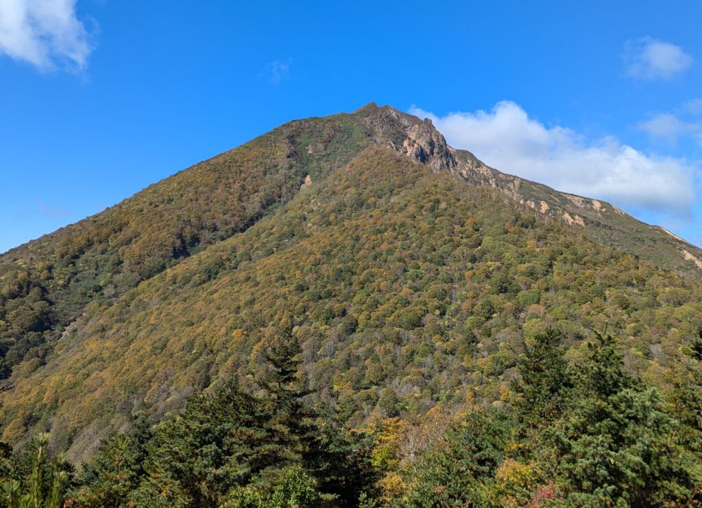
Mt. Bandai is located in Fukushima prefecture. It’s one of the taller mountains there, and very prominent on the skyline. Situated by the glimmering Lake Inawashiro, it’s the perfect location to explore some of the beauty in Japan, and Fukushima itself.
The Early Bird
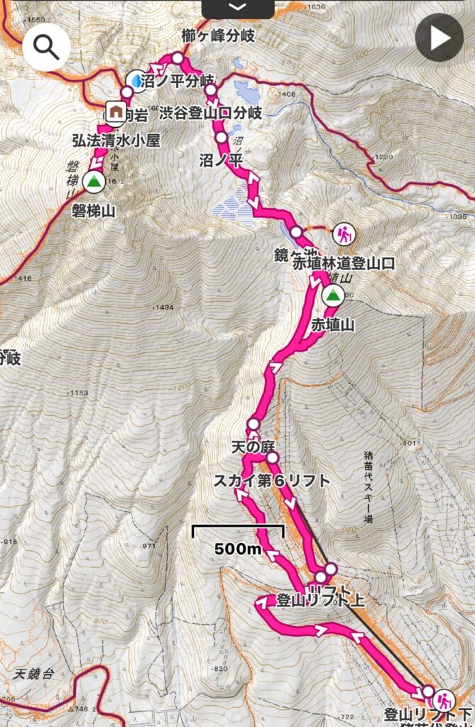
Our hiking narrative for Bandai begins with the wake up. I was driving us to the trail this time around, and needed to get up at 3am so that we could get to the trail by about 8. I headed out at about 3:45, picked up Corrine, and began driving my way up into Fukushima!
It was my first time there, and also the first time in a long time using the motorway. The drive up was pretty smooth though, and we arrived at about 8am. The car park we planned to use was full, so we went to one of the others nearby (it had about 10 spaces left). We grabbed our bags, used the conveniently placed toilets in the car park, and began our hike!
We were anticipating a fairly busy trail due to the three-day weekend, but Bandai is also known for bears, so we had our bear bells attached to our packs just in case. However, with the amount of talking we did on the ascent and descent, I think we would have scared off all but Yogi Bear himself!
Bandai is known as a good spot for skiing in the winter, and so they have ski lifts to take people part of the way up the mountain, and when we arrived, one of the ski lifts was in operation. With the three staff members operating the lifts at the bottom, combined with the full car park; we felt like this may be one of the busier days of the year outside of skiing season!
And so, it Begins!
We skipped the ski lifts, and hiked up from the car park. We felt like taking the ski lifts would be a little cheap, considering our main goals of fitness, enjoying nature, conquering another mountain, and also in preparation for hiking Mt. Fuji next year. The first part of the hike we travelled along a gravel road used for RVs to get to the camping spots. It was a gradual road, and not too difficult to navigate. They also had floodlights, which we imagined they used during the skiing season. Finally, we hit a flat section of the road, and we caught view of another ski lift, and our next trail; a ski slope.
Hiking the ski slope wasn’t too bad, but it wasn’t the most interesting of trails to take. A wide open straight with dense trees and shrubs either side. We couldn’t get any real views from here, other than the bottom of the slope. We encountered what looked like black bear poop, but it had been sitting through the summer sun for a while! Sorry, no photos! I may not be the best photographer, but I don’t think I’m a poop photographer!
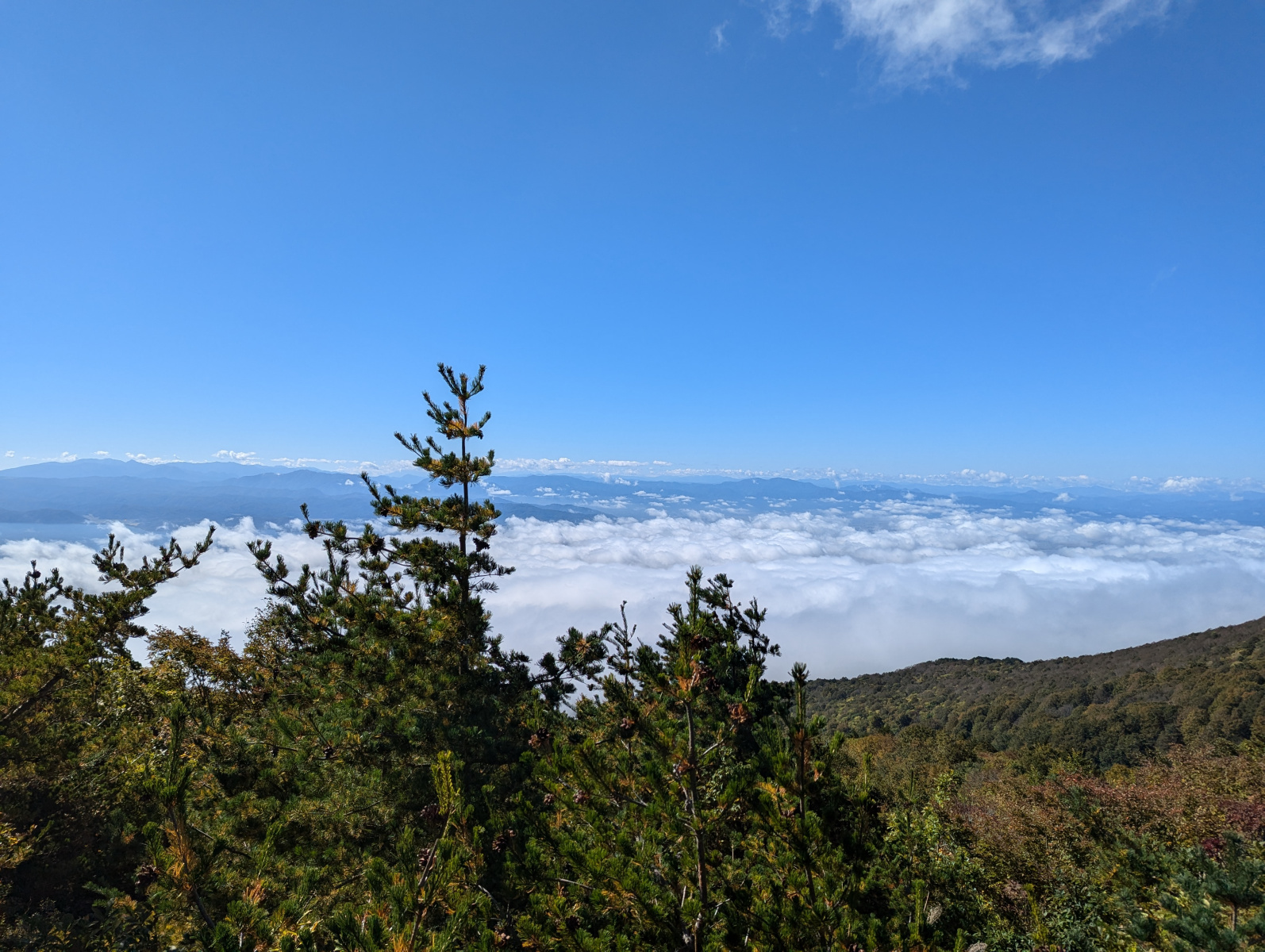
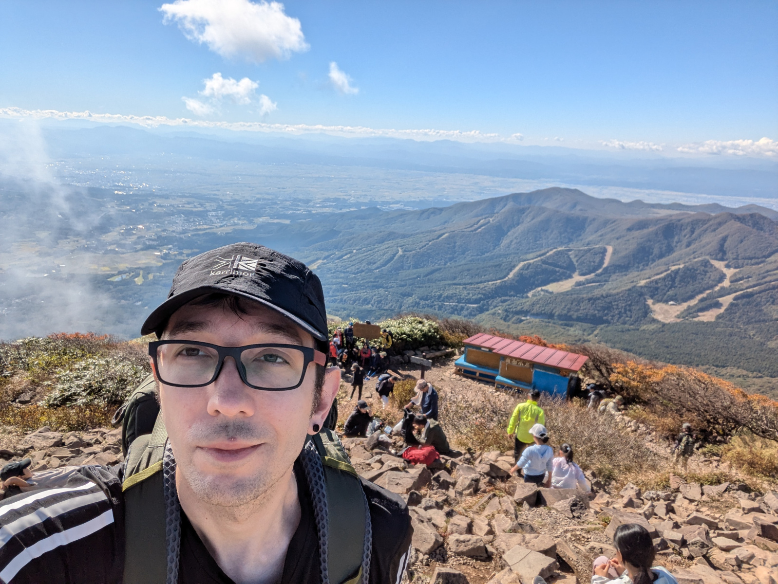
We reached the end of the ski slope, and were greeted with one of the first great views of the hike. Exactly where the ski lift ended its roundtrip.
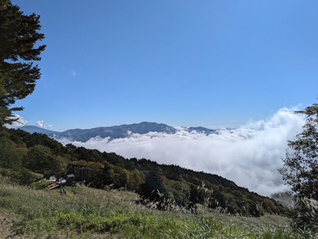
This was the ski lift we encounted at the start of the hike. We were already an hour into our hike at this point. We saw many fresh-looking faces who came off the ski lift for their hike up Bandai, and began the second leg of our hike up the start of the actual trailhead.
The Trail
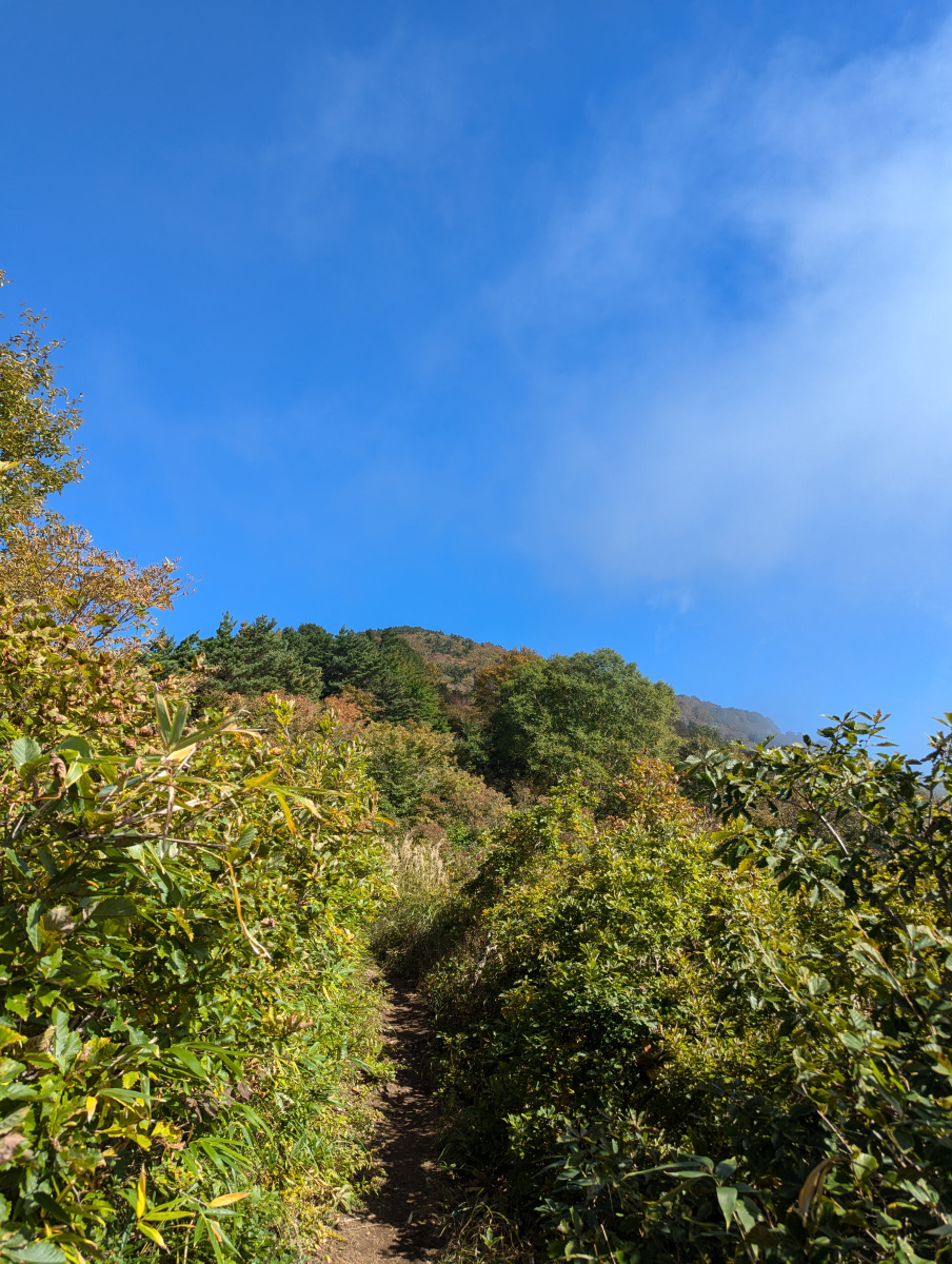
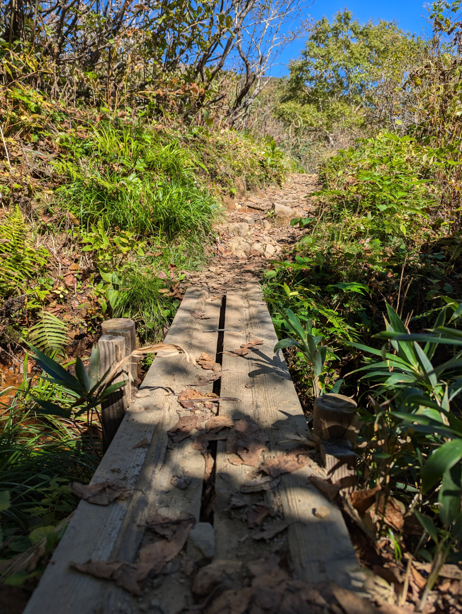
The trail was narrow. The bushes, trees and grasses arching overhead to create a natural woodland tunnel.
In the beginning, the trail started quite flat, but it then went into rocks and soft moist soil. It wasn’t too difficult to traverse. After that, it was a little drier, but still rocky with some exposed roots to boot (don’t trip on these!) with the overarching trees and bushes, combined with the rocks and roots, it created an almost magical feeling.
We couldn’t stop much along this section, as there were many people behind, and the trail was a little too narrow for people to pass easily. If we did stop, it was usually to in places where it widened, so let faster hikers through, or to hydrate up.
There were two older gentlemen who were behind us, and we offered them space to hike past, but they refused, saying that they were slow in a joking manner, we had a little laugh together and we continued on with them close behind. Suddenly, we hit an alternative route in the hike. We could continue the trail to Bandai, or hike a new section, which was up the trail to Akahaniyama. We decided the latter. We had enough time! 🙂
Mt. Akahaniyama Detour
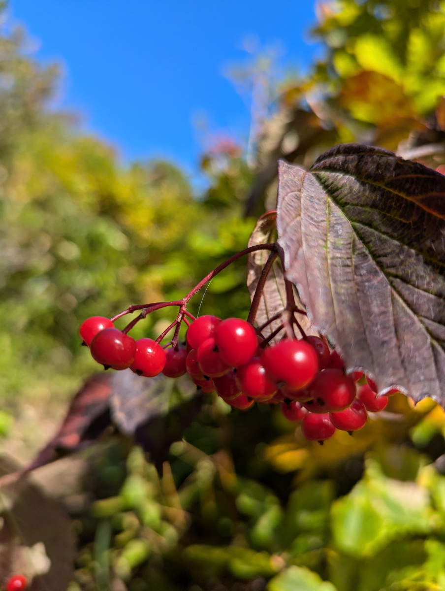
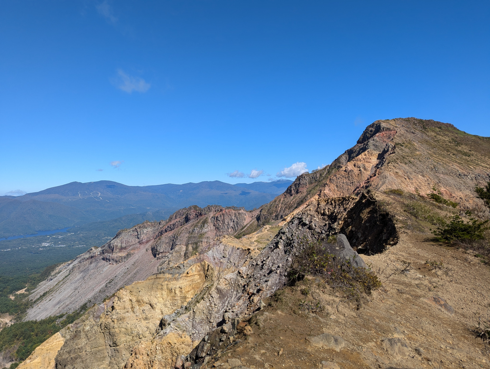
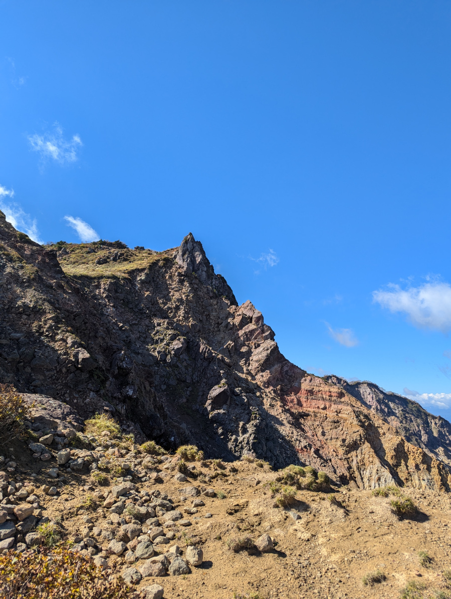
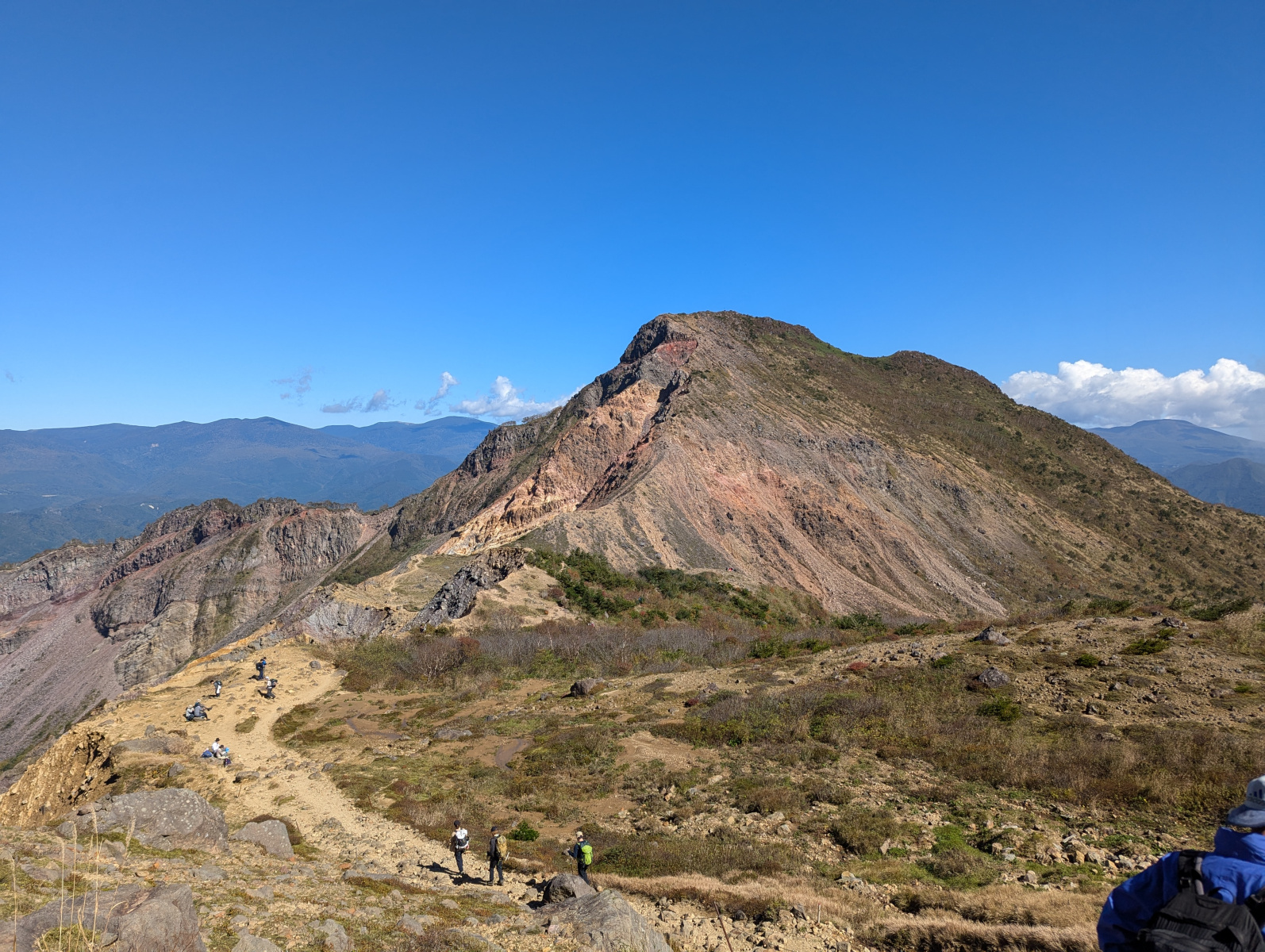
A smaller mountain. The name Aka meaning red, hani meaning soil, and yama meaning mountain. It got this name because it’s covered with red soil. It made a shift in tone to our initial leg from the trailhead. It was more open, rocky and yes, the soil was red. There were bushes of red berries and some fantastic sights of Fukushima below.
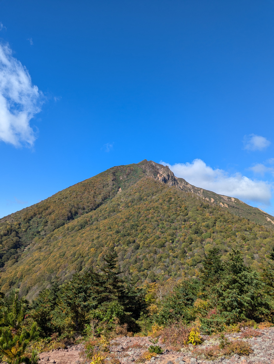
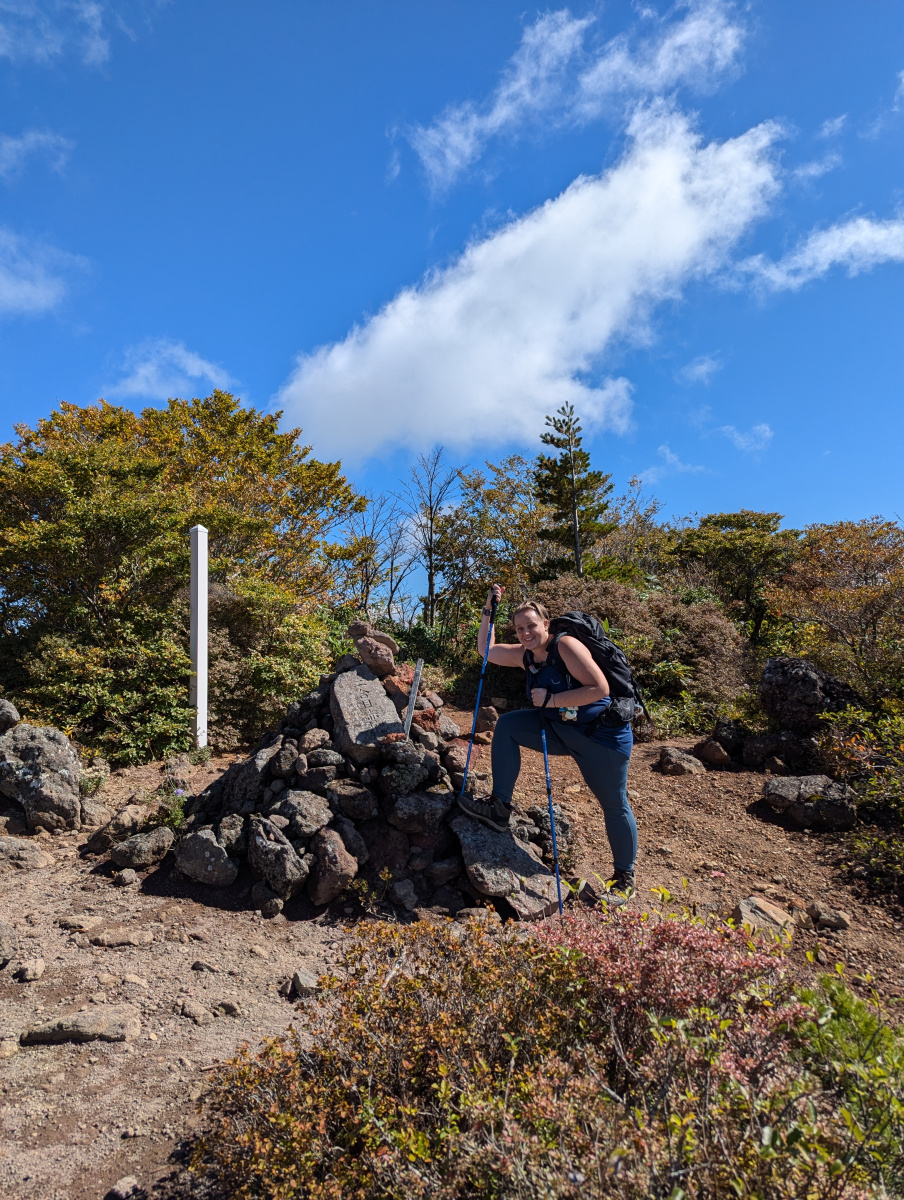
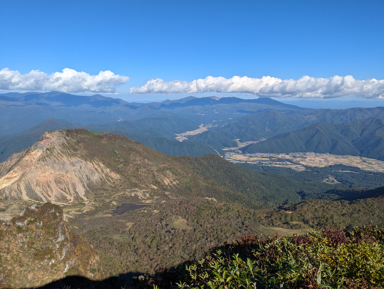
The summit of Akahaniyama was rocky, and we saw a few people there. People had already started eating their lunch (or perhaps second breakfast?) We captured a lovely panoramic shot of the view, and some snaps of our next destination, Mt. Bandai! Bandai was only another 400 or so meters higher, but we would need to hike down another trail to meet back up with the original.
As we started the descent down, we met a couple of old fellows, one of whom looked us up and down, and told us in Japanese that the ski lift would close at 2:30, so we wouldn’t have enough time to hike Bandai. Corrine was quick to tell him that we didn’t use it on the way up, and didn’t intend on using it on the way down. He was a little taken aback. He seemed like he thought we were in no shape to hike Bandai, and wanted to hurt us with some sharp realities. I guess he was left a little disappointed!
This section of the hike was pretty straightforward. We hiked down a rocky narrow trail to meet back up with the Bandai trail.
The Swamps of Sulphur
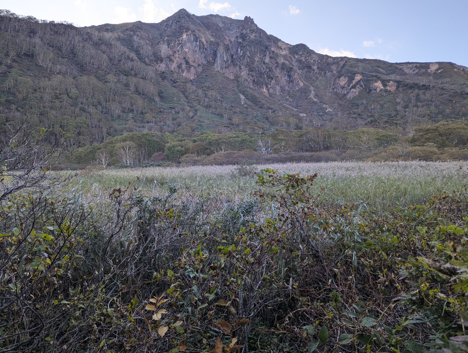
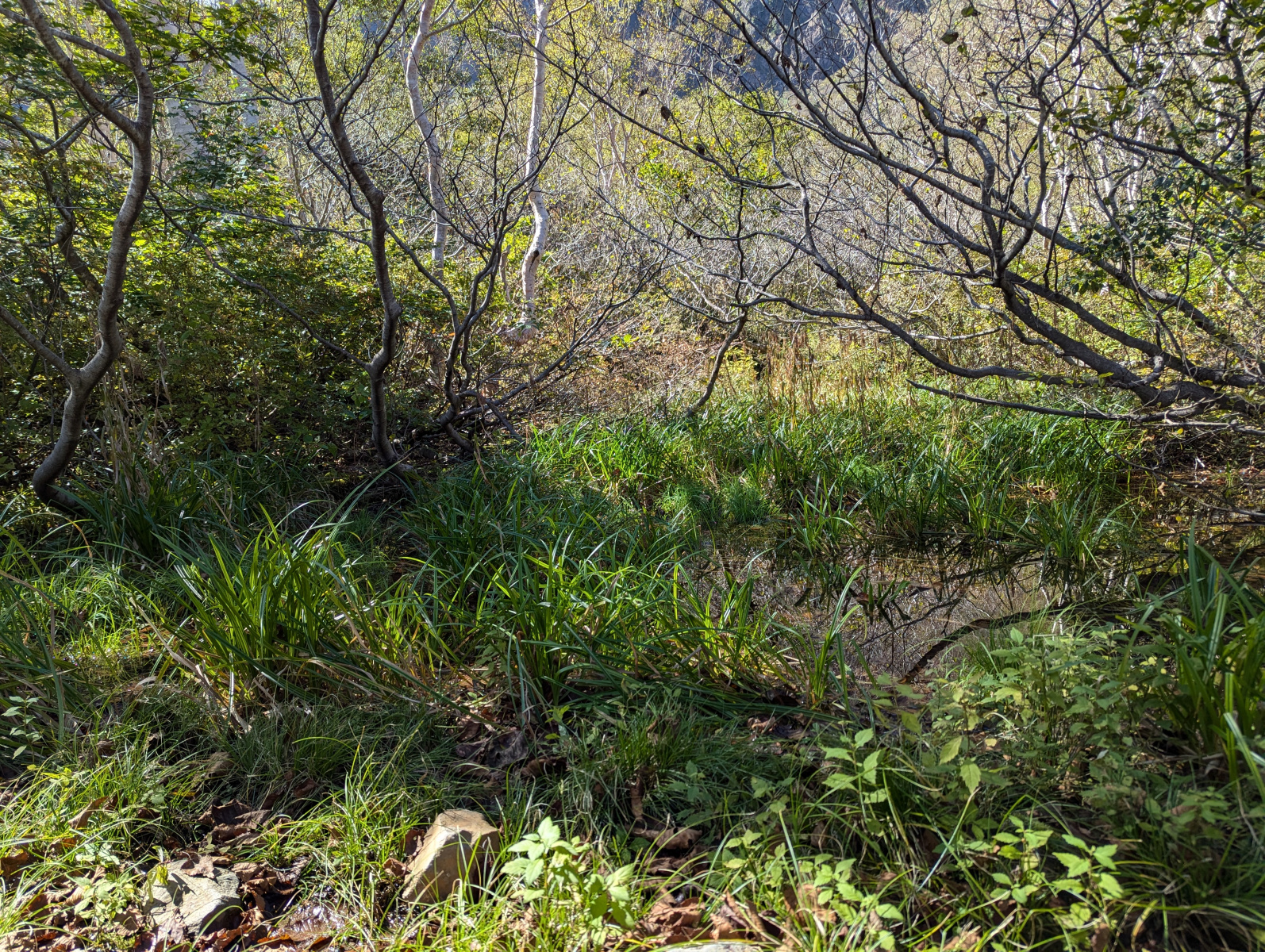
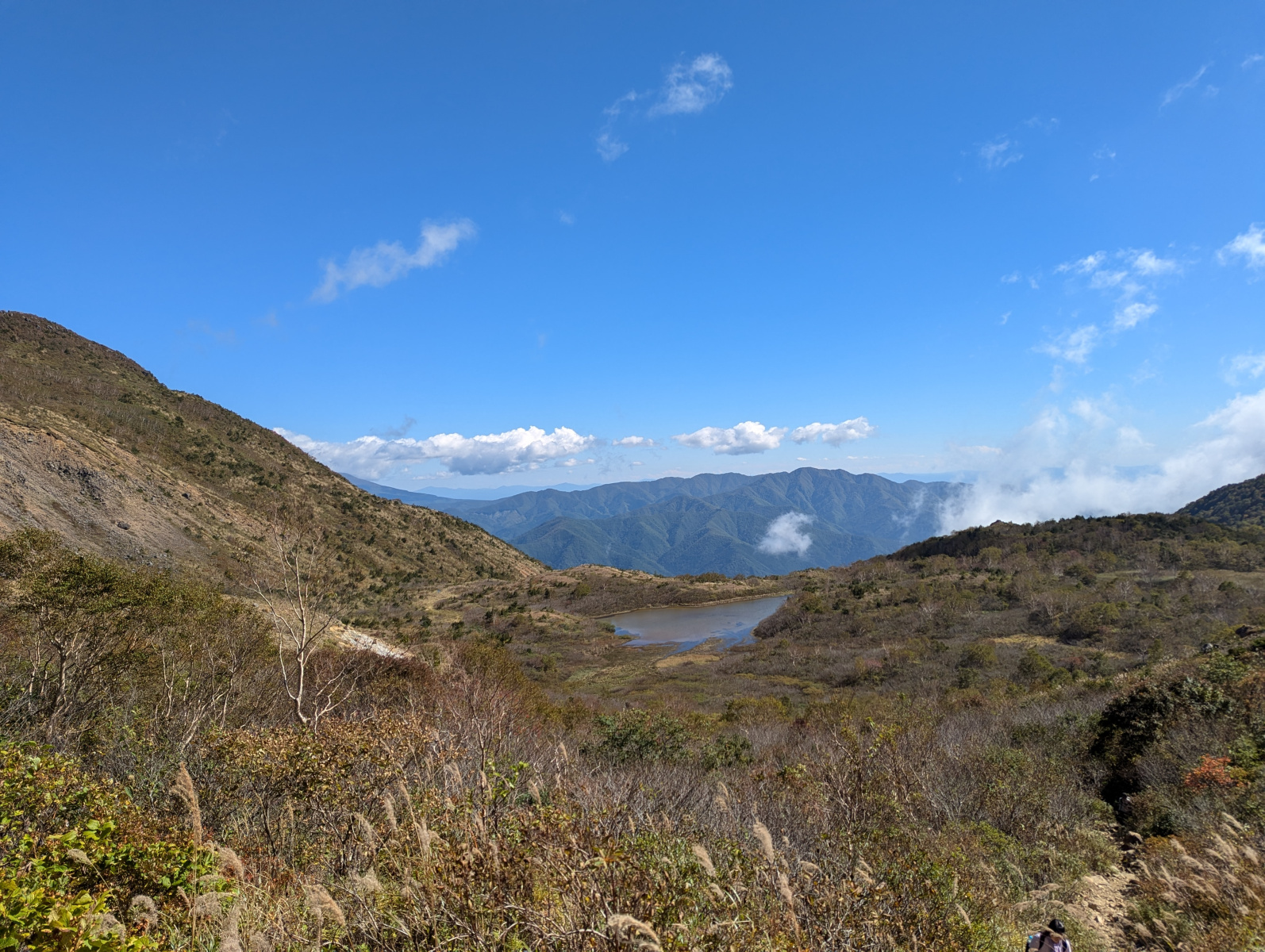
Once we reached the trail again, we were met with the familiar enchanting narrow trail with overarching greenery. The path was almost level here. We caught the smell of sulphur in the air. On either side there were pools of brown water, which we imagine were thermal springs, but didn’t look good for a dip. I think the orange in the water was oxidised iron, which is what made our previous mountain reddish.
At one point we saw a large section of flat terrain with what looked like rice growing in it. It could have been some kind of grass, but it did make me wonder if perhaps farmers had been cultivating between the two mountains, to make use of the lack of wind. Something I remember hearing when travelling around Shodoshima.
There were also a few small wooden bridges for going over the trickling streams that dotted the area. This area was a little muddy, so I imagine it would be a little difficult to traverse in wet weather. Our trail was taking us between the two peaks towards the eastern side of Bandai.
We finally made our way through the boggy wetland, and reached the eastern ridge.
The Ridge
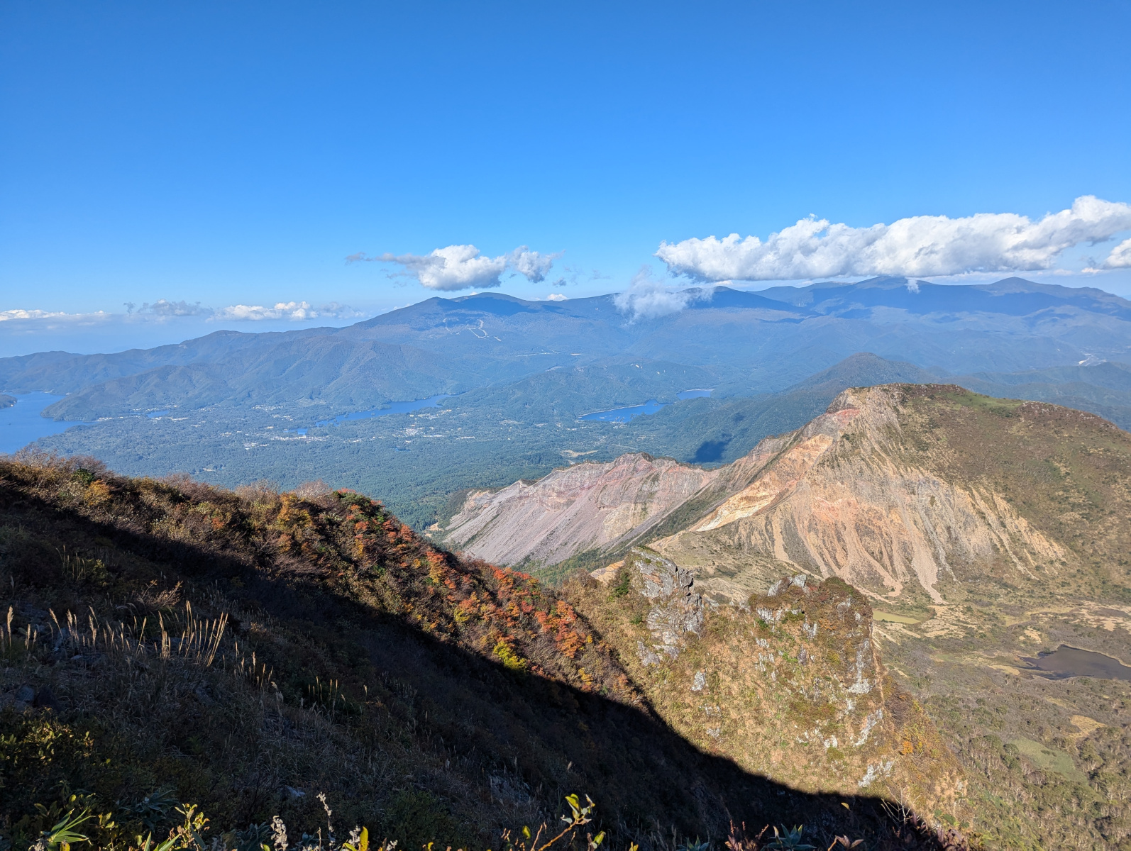
There were many people here resting and taking in the views. We also spent about 20 minutes here to rehydrate, and take some photos of the scenery. We decided that we needed to move on, but before that, we bumped into the two older gentlemen from before! We told them about hiking up Akahaniyama, and they seemed happy to chat to us again. They were planning to hike up to Bandai, but we said our goodbyes and good luck and went on ahead of them.
Up to the Hut
The hike up to Bandai didn’t look too difficult from here. The section we could see from the ridge reminded us of the sections leading to the huts on Mt. Fuji, except a little narrower. Exposed on one side, and zigzagging up the mountain side before leading into the brush. Before we began the next leg of the journey, we refilled our bottles at the natural water spot. The water was so fresh!
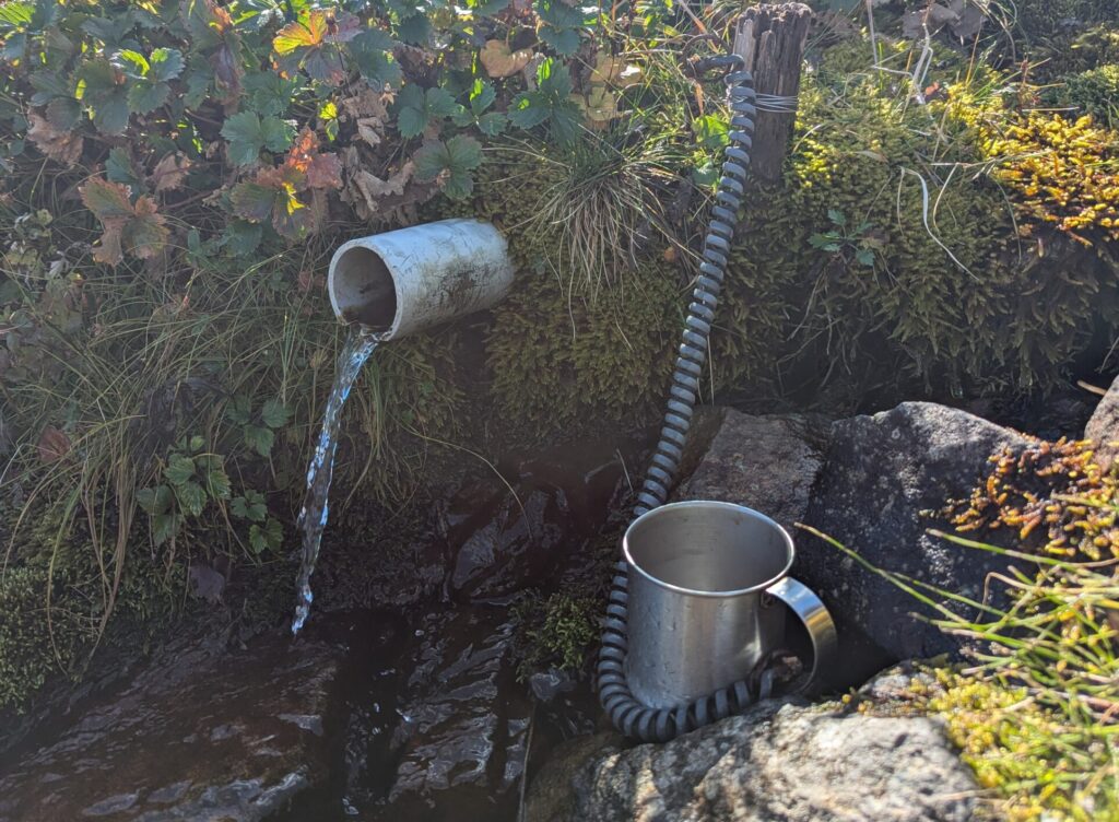
This was the second last leg of the hike up. We saw fewer people here. It was similar to the previous sections, a narrow trail, with people making way for the hikers coming up, but sometimes we also had to make space for any hikers coming down. This would have been much quicker if the trail was clear! It was rocky and fun to traverse. There were a lot more red berry bushes here. We imagined because bears wouldn’t forage so high up.
Eventually, we reached the hut. There were many hikers here eating lunch, and buying goods from the huts. We contemplated having lunch here. It was already about 1pm, but we decided to push on and have lunch at the summit. We thought it may slow us down if we ate now. On we pressed for the last part of the ascent.
The Last Leg
We started the final leg, and not too long into it, there was a large group of people hiking down. I think at least 150 people. We think the big group was making their way down to get the ski lift before it closed. After walking past the 150+ people, things got a lot clearer.
This final leg was beginning to tire us out a little though. At every clearing ahead, I teased that it could be the summit, only to find it was a false summit. This went on for another hour or so. There were people behind us, and so we didn’t catch many photos of this last section. It was perhaps a little steeper than the previous sections.
Nearing 1pm, I could see a clearing, this had to be it! I told Corrine that I thought we had found the summit, not believing me at this point we both hiked up and were greeted with the top of Mt. Bandai!
Bandai Summit
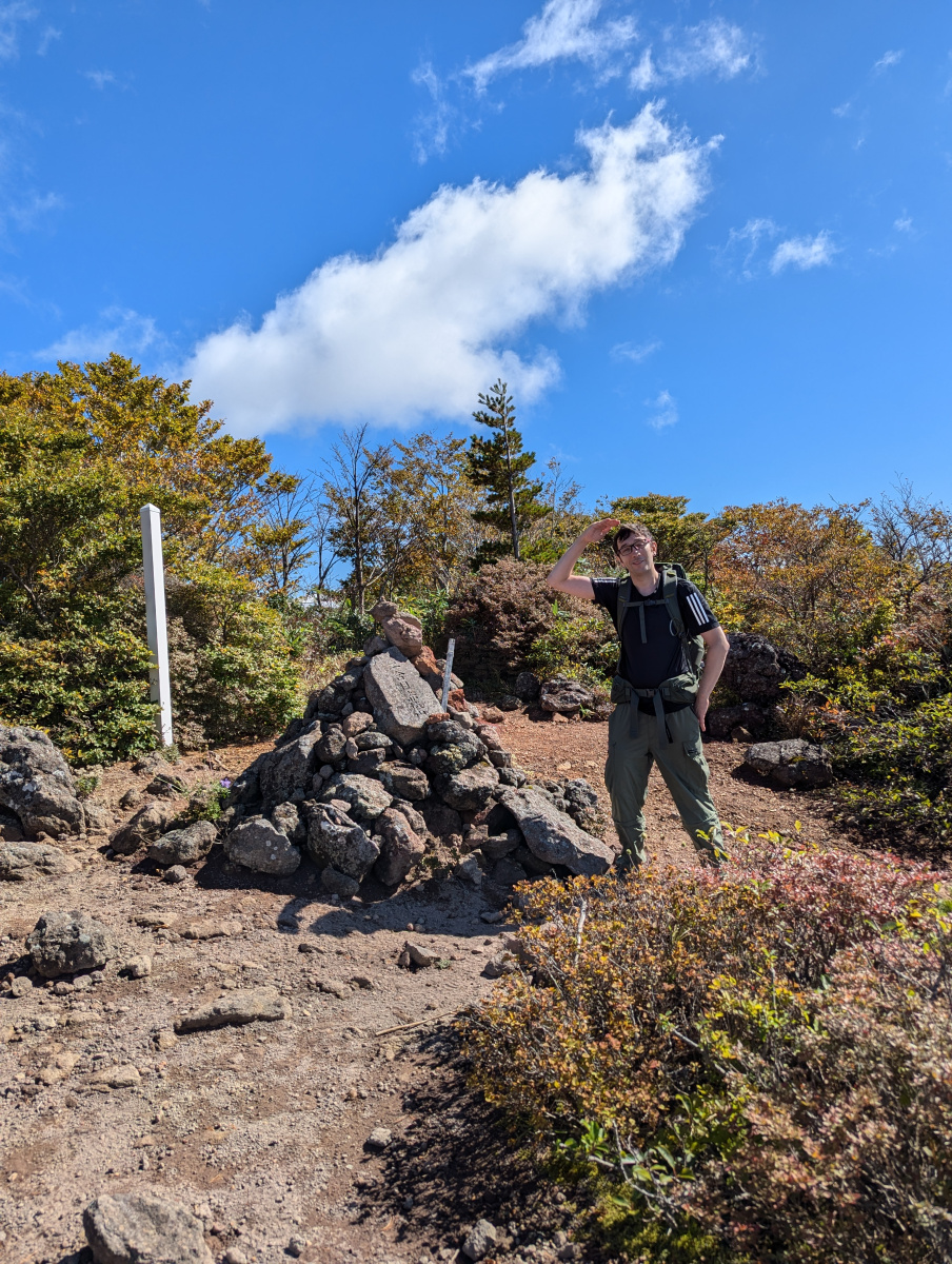
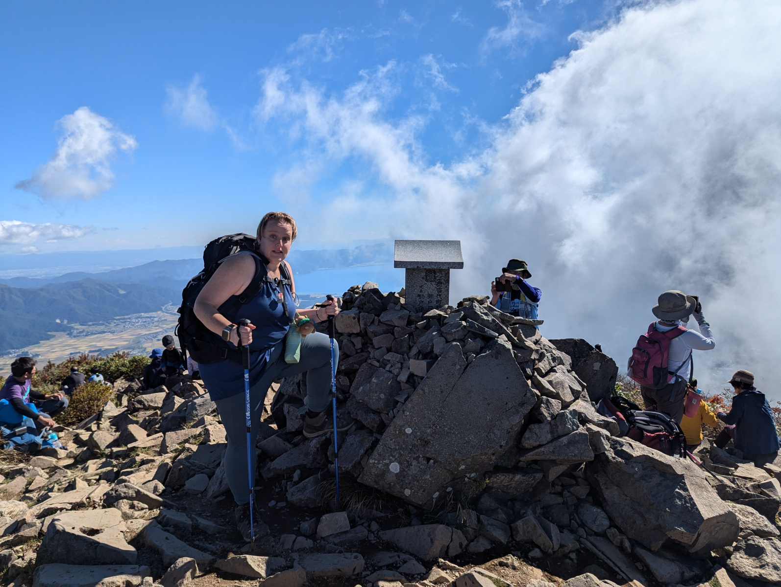
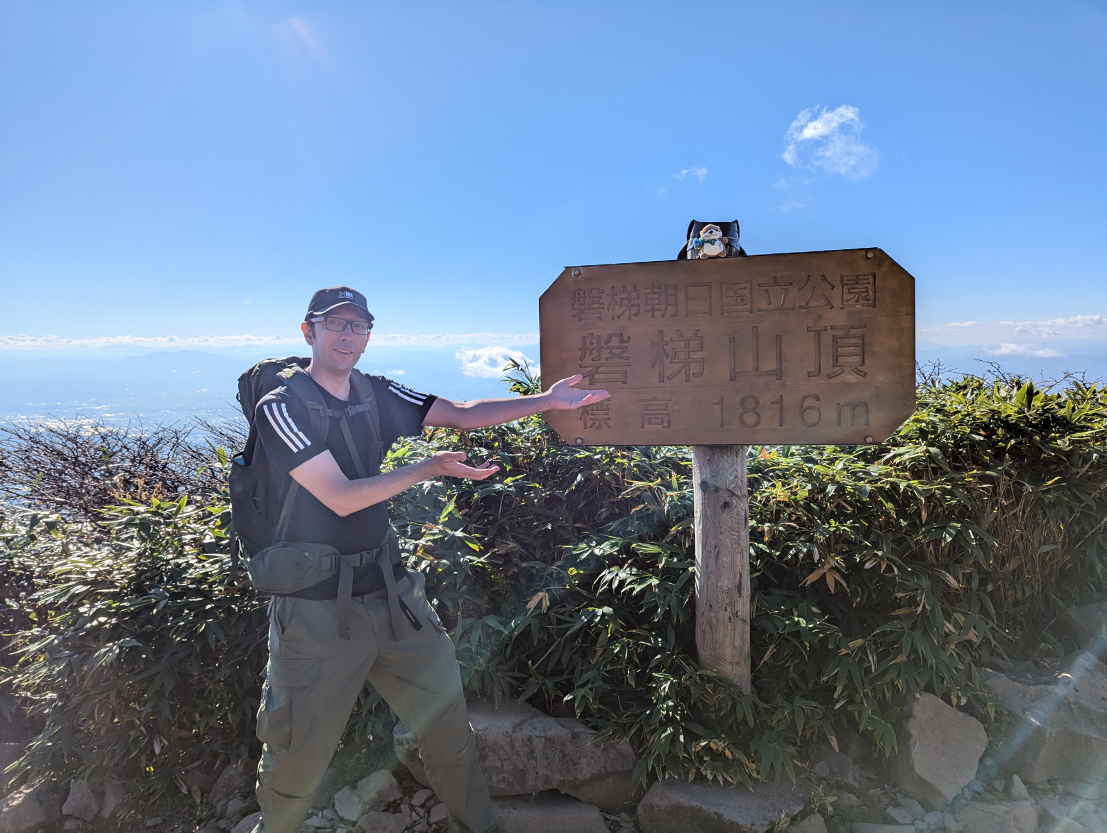
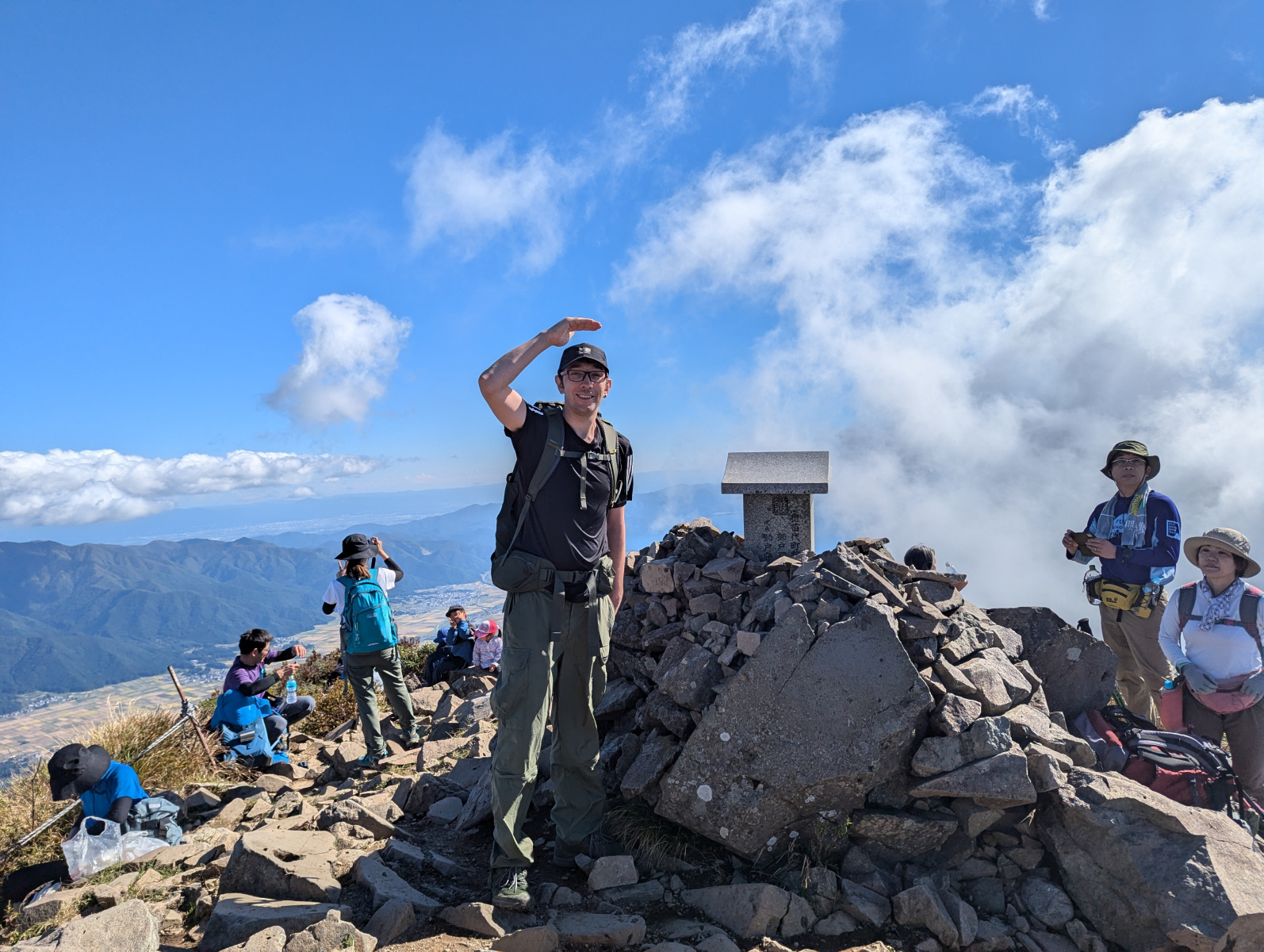
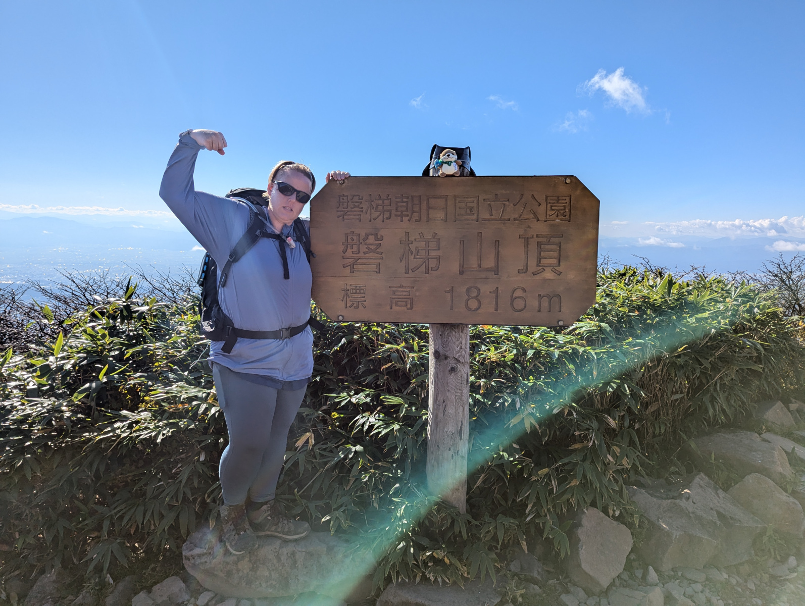
There were around 40 people up here, most people having lunch and enjoying the views. We were really taken by the views, but desperately wanted to get some photos of our achievement so that we could eat! We took some photos, found a nice rock to sit on, and ate our shut-up sandwiches.
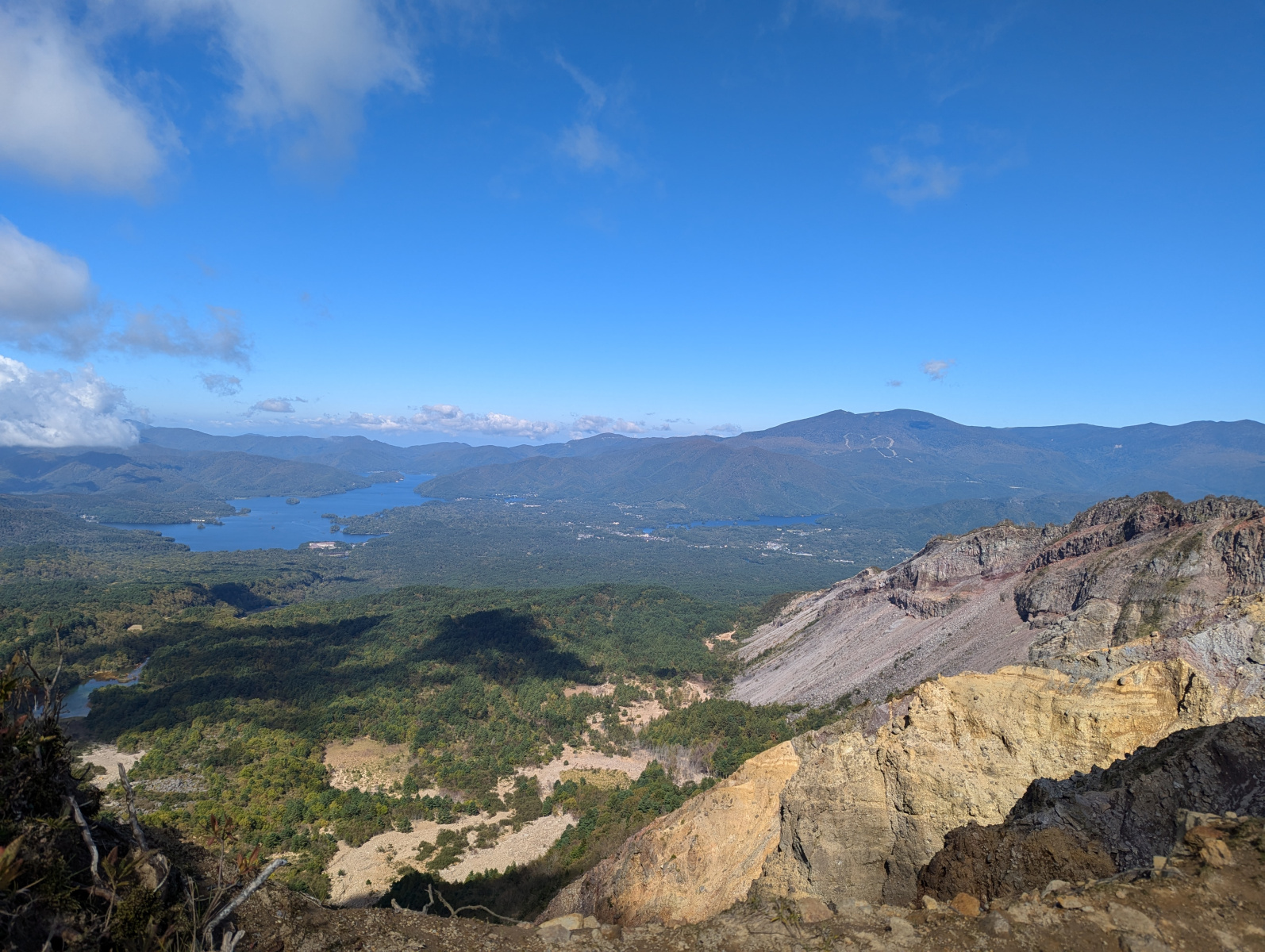
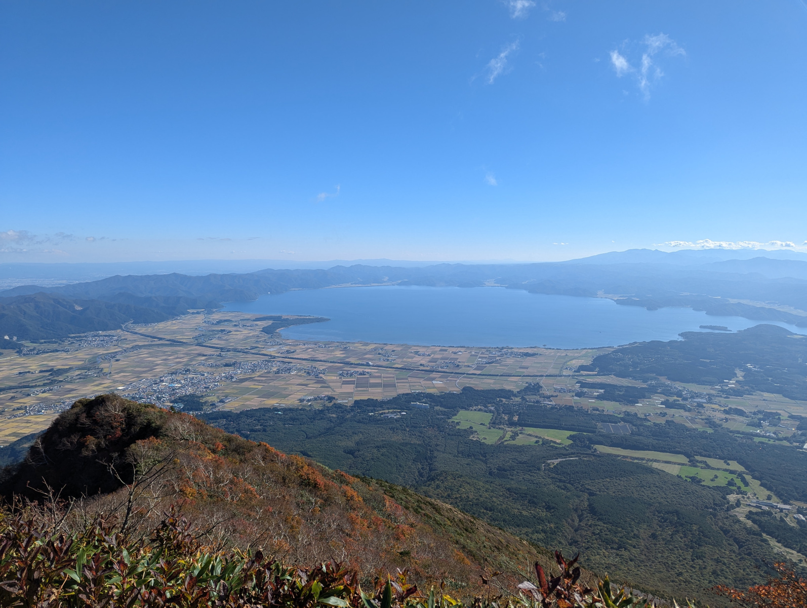
The views from the summit were breathtaking! At first, the lake was covered by some cloud, but was revealed after about 30 minutes. We were trying to find a good connection to make a livestream, and to send photos to friends, but the connection was iffy. Eventually Corrine managed to connect to Instagram and do a live reel! I could have stayed there until sunset, but we had a long hike and drive ahead of us, and although we had our headtorches, we decided to begin our descent at around 2:30pm (damn! We missed the ski lift!).
From Whence We Came
The way down was of course a lot less strenuous. We met very few people ascending. We saw a lone child waiting near the end of the trail to the summit, and checked he was okay. About 5 minutes later, we bumped into his parents hiking up and he must have followed us down the trail because he suddenly appeared! On we continued down the trail, as the sun was starting to set.
We made it back down to the hut. We thought this was a good opportunity to get something sweet to drink, and get a memento. They had some Bandai marked bear bells which had a nice musical tone compared to the Daiso ones we were using, and bought one each, along with a coke. Onwards we went back down towards the ridge. We were a little saddened that we didn’t bump into the two elderly gentlemen on the way down. We guessed that they were worried about not making it back before dark, and that they enjoyed the views from the ridge and headed back.
The Livestreamer
When we arrived at the ridge area, I topped up my water bottle at the mountain spring, and we walked along the ridge towards the swampy part of the hike. Before reaching it, a guy came out of the trail. Dressed in all white and a selfie stick in hand, he called to us in English “Hello! Nice to meet you!” or something. He didn’t understand Corrine when she replied, but kept replying nonetheless! He was livestreaming his hike up to the summit, but he didn’t look all that prepared for the hike! It would be dark by the time he was descending. We both wondered if he’d be okay!
Continuing on, we went through the swampy area, used the opportunity to take a few photos of some of the swamp, and went down the trail which we hadn’t seen yet, the one between the Akahaniyama starting and ending trail. It was much the same as the rest of that trail. Rocky with trees arching our path. We met nobody along this stretch. I remembered that my backpack had an emergency whistle, I decided to give it a try (just a very light blow) without Corrine knowing, and scared her half to death! Well, at least I know that works!
Back at the Trailhead
The rest of the hike down was pretty uneventful until we made it back to the top of the ski lift. The view here now was stunning! The cloud had cleared, and you had an amazing view of the mountain ranges, with the setting sun kissing the tops of some of the treetop, almost looking like a field of sunflowers.
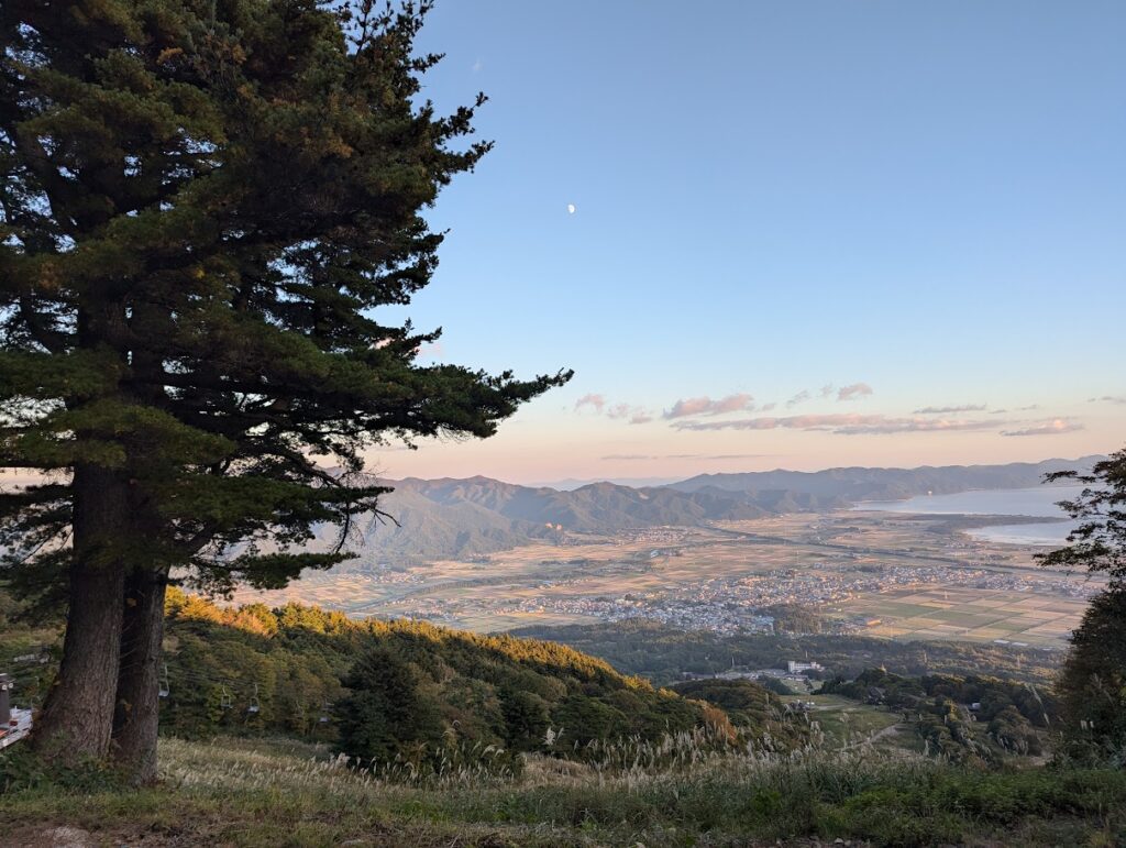
A couple exited the trail not long after us, and they began hiking down alongside the ski lifts. It looked better than our ski slope trail, especially now with the scenic view, so we decided to follow behind after taking in the view for 10 minutes or so. As we reached the bottom of the ski lift slope, the dark was approaching. We realised that we were near the gravel road that we took initially in the hike, so decided to take it down, half hoping that the floodlights could be on. They weren’t, but I put on my headtorch and we had pretty good visibility.
Time for a Hot Coffee!
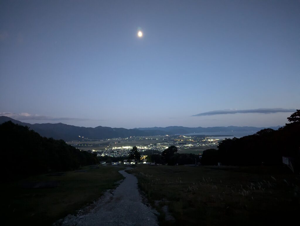
Finally, we made the last steps down the mountain, and made it back to the car park. We sat outside the car with some stars showing their faces in the dark sky, made some coffee on Corrine’s stove, and reflected on the hike.
This was definitely one of the best hikes I’ve been on, and Corrine felt the same way! We talked about the old man who gave his doubtful comment and how we showed him! Also on the two hikers who we didn’t see on our descent, and the livestreamer.
We began talking about where we’d hike next, already more adventure in our eyes, waiting for the next big hike! Corrine brought up the idea of a coastal through-hike next, and I suggested perhaps a hike along the famous Shimanami Kaido, but that would be for next year.
A great challenge, and fantastic views and nature to take in. We finished off our coffee, got in the car, and began the 3 and a half our drive home.
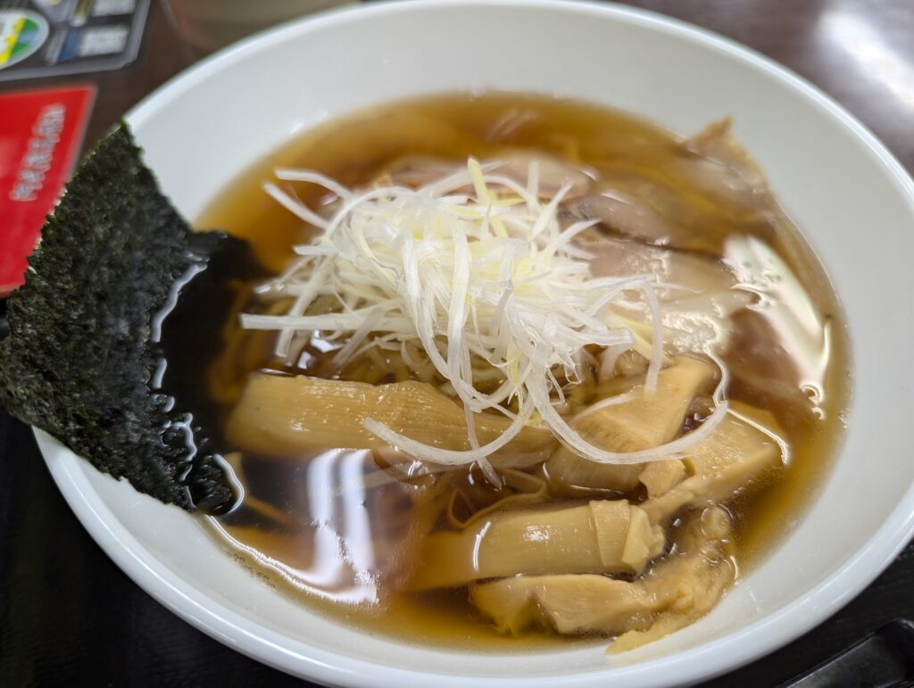
Along the way, we heard of a traffic jam further down the motorway. We were considering coming off the motorway before it, but instead stopped at a service station to try some kitakata ramen (famous in Fukushima) and get some souvenirs. The ramen was great!
That brings this little adventure to a close! We thoroughly enjoyed the hike! We can’t wait for the next one!
Thank you for reading! Until next hike! 🙂


Pingback: Don’t Look Down! Daring and Fun Hike in Chiba! - JapanTanken